
Château Sarran topographic map
Interactive map
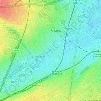
Click on the map to display elevation.
About this map
Name: Château Sarran topographic map, elevation, terrain.
Average elevation: 71 m
Minimum elevation: 49 m
Maximum elevation: 113 m
Other topographic maps
Click on a map to view its topography, its elevation and its terrain.
Antony
France > Île-de-France > Hauts-de-Seine > Antony
Antony, Hauts-de-Seine, Île-de-France, France métropolitaine, 92160, France
Average elevation: 75 m