
Griffith topographic map
Interactive map
Click on the map to display elevation.
About this map
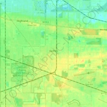
Name: Griffith topographic map, elevation, terrain.
Location: Griffith, Lake County, Indiana, 46319, USA (41.49881 -87.45189 41.56680 -87.39349)
Average elevation: 190 m
Minimum elevation: 178 m
Maximum elevation: 200 m