
New Providence topographic map
Interactive map
Click on the map to display elevation.
About this map
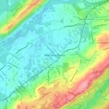
Name: New Providence topographic map, elevation, terrain.
Average elevation: 98 m
Minimum elevation: 61 m
Maximum elevation: 170 m
Other topographic maps
Click on a map to view its topography, its elevation and its terrain.
Oakwood Park
United States > New Jersey > Union County > New Providence > Oakwood Park
Average elevation: 87 m