
Yumurtalık topographic map
Interactive map
Click on the map to display elevation.
About this map
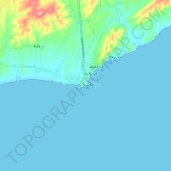
Name: Yumurtalık topographic map, elevation, terrain.
Location: Yumurtalık, Adana, Mediterranean Region, Turkey (36.72733 35.75040 36.80733 35.83040)
Average elevation: 15 m
Minimum elevation: -1 m
Maximum elevation: 129 m