
Las Piletas topographic map
Interactive map
Click on the map to display elevation.
About this map
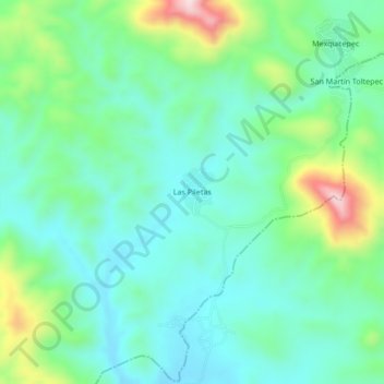
Name: Las Piletas topographic map, elevation, terrain.
Location: Las Piletas, Izúcar de Matamoros, Puebla, Mexico (18.40816 -98.42504 18.44816 -98.38504)
Average elevation: 1,130 m
Minimum elevation: 1,034 m
Maximum elevation: 1,401 m