
Ffordd-las topographic map
Interactive map
Click on the map to display elevation.
About this map
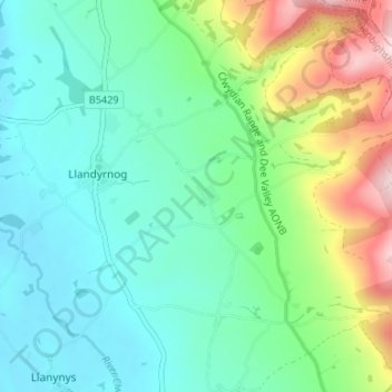
Name: Ffordd-las topographic map, elevation, terrain.
Location: Ffordd-las, Denbighshire, Wales, LL16 4LR, United Kingdom (53.15282 -3.33916 53.19282 -3.29916)
Average elevation: 119 m
Minimum elevation: 30 m
Maximum elevation: 363 m