
Angón topographic map
Interactive map
Click on the map to display elevation.
About this map
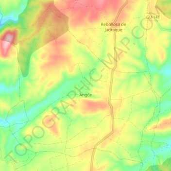
Name: Angón topographic map, elevation, terrain.
Location: Angón, Guadalajara, Castile-La Mancha, Spain (41.04363 -2.89865 41.09664 -2.82175)
Average elevation: 993 m
Minimum elevation: 892 m
Maximum elevation: 1,108 m