
Ottokee Station topographic map
Interactive map
Click on the map to display elevation.
About this map
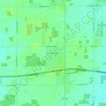
Name: Ottokee Station topographic map, elevation, terrain.
Location: Ottokee Station, Fulton County, Ohio, 43567, USA (41.57977 -84.17495 41.61977 -84.13495)
Average elevation: 239 m
Minimum elevation: 233 m
Maximum elevation: 245 m