
Saint-Agnan-en-Vercors topographic map
Interactive map
Click on the map to display elevation.
About this map
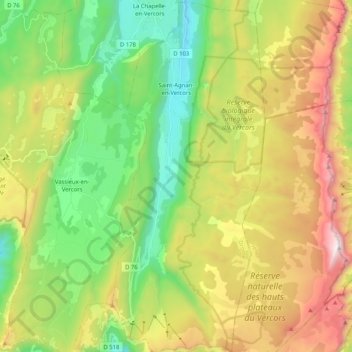
Name: Saint-Agnan-en-Vercors topographic map, elevation, terrain.
Average elevation: 1,361 m
Minimum elevation: 738 m
Maximum elevation: 2,337 m