
Geraardsbergen topographic map
Interactive map
Click on the map to display elevation.
About this map
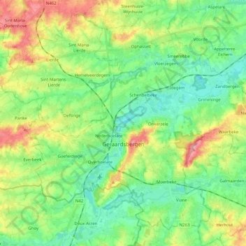
Name: Geraardsbergen topographic map, elevation, terrain.
Location: Geraardsbergen, Aalst, East Flanders, Flanders, Belgium (50.72757 3.80368 50.83693 4.00383)
Average elevation: 40 m
Minimum elevation: 5 m
Maximum elevation: 108 m
Other topographic maps
Click on a map to view its topography, its elevation and its terrain.