
Merksplas topographic map
Interactive map
Click on the map to display elevation.
About this map
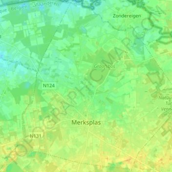
Name: Merksplas topographic map, elevation, terrain.
Location: Merksplas, Turnhout, Antwerp, Flanders, 2330, Belgium (51.33651 4.80845 51.41233 4.93336)
Average elevation: 24 m
Minimum elevation: 15 m
Maximum elevation: 35 m
Other topographic maps
Click on a map to view its topography, its elevation and its terrain.