
Venray topographic map
Interactive map
Click on the map to display elevation.
About this map
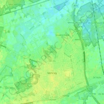
Name: Venray topographic map, elevation, terrain.
Location: Venray, Limburg, Netherlands (51.51249 5.94124 51.56106 6.00229)
Average elevation: 24 m
Minimum elevation: 17 m
Maximum elevation: 31 m
Other topographic maps
Click on a map to view its topography, its elevation and its terrain.