
Glynn topographic map
Interactive map
Click on the map to display elevation.
About this map
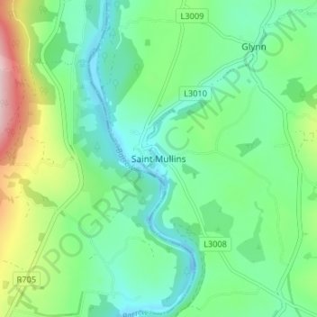
Name: Glynn topographic map, elevation, terrain.
Location: Glynn, Saint Mullins, County Carlow, Leinster, Ireland (52.46898 -6.94608 52.50898 -6.90608)
Average elevation: 77 m
Minimum elevation: -13 m
Maximum elevation: 275 m