
Villa Juárez topographic map
Interactive map
Click on the map to display elevation.
About this map
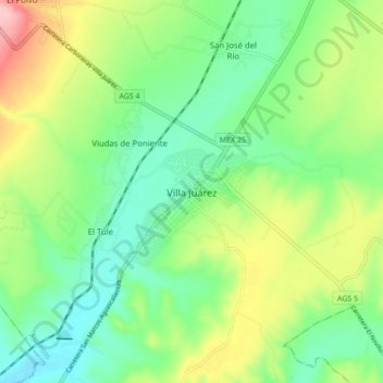
Name: Villa Juárez topographic map, elevation, terrain.
Location: Villa Juárez, Asientos, Aguascalientes, 20701, México (22.05329 -102.11057 22.13329 -102.03057)
Average elevation: 2,001 m
Minimum elevation: 1,946 m
Maximum elevation: 2,104 m