
Tange topographic map
Interactive map
Click on the map to display elevation.
About this map
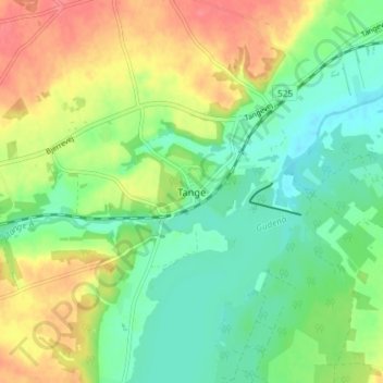
Name: Tange topographic map, elevation, terrain.
Location: Tange, Viborg Municipality, Central Denmark Region, Denmark (56.33297 9.56706 56.37297 9.60706)
Average elevation: 30 m
Minimum elevation: 4 m
Maximum elevation: 67 m