
Davis topographic map
Interactive map
Click on the map to display elevation.
About this map
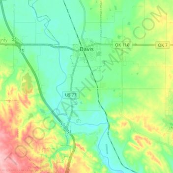
Name: Davis topographic map, elevation, terrain.
Location: Davis, Murray County, Oklahoma, United States (34.42139 -97.21521 34.53589 -97.09014)
Average elevation: 276 m
Minimum elevation: 228 m
Maximum elevation: 384 m