
Keramat topographic map
Interactive map
Click on the map to display elevation.
About this map
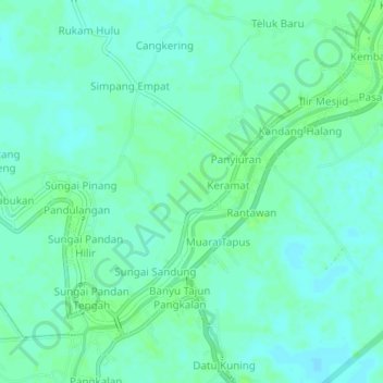
Name: Keramat topographic map, elevation, terrain.
Location: Keramat, South Kalimantan, 71452, Indonesia (-2.47559 115.20272 -2.43559 115.24272)
Average elevation: 7 m
Minimum elevation: 2 m
Maximum elevation: 11 m