
Tütsberg topographic map
Interactive map
Click on the map to display elevation.
About this map
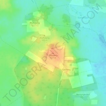
Name: Tütsberg topographic map, elevation, terrain.
Location: Tütsberg, Schneverdingen, Heidekreis, Niedersachsen, Deutschland (53.11801 9.90750 53.11811 9.90760)
Average elevation: 94 m
Minimum elevation: 79 m
Maximum elevation: 117 m
Other topographic maps
Click on a map to view its topography, its elevation and its terrain.