
Langsa topographic map
Interactive map
Click on the map to display elevation.
About this map
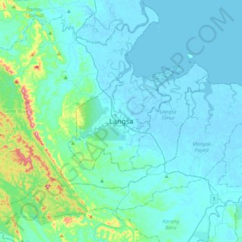
Name: Langsa topographic map, elevation, terrain.
Location: Langsa, Aceh, Sumatra, Indonesia (4.31309 97.80818 4.63309 98.12818)
Average elevation: 32 m
Minimum elevation: -3 m
Maximum elevation: 287 m