
Northern Ireland topographic map
Interactive map
Click on the map to display elevation.
About this map
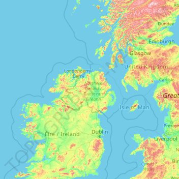
Name: Northern Ireland topographic map, elevation, terrain.
Location: Northern Ireland, United Kingdom (52.06950 -9.32544 57.18950 -4.20544)
Average elevation: 83 m
Minimum elevation: -2 m
Maximum elevation: 1,261 m
Other topographic maps
Click on a map to view its topography, its elevation and its terrain.