
Hyrum topographic map
Interactive map
Click on the map to display elevation.
About this map
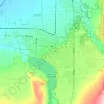
Name: Hyrum topographic map, elevation, terrain.
Location: Hyrum, Cache County, Utah, United States of America (41.60884 -111.88607 41.65156 -111.79385)
Average elevation: 1,442 m
Minimum elevation: 1,366 m
Maximum elevation: 1,626 m