
Kampung Melayu topographic map
Interactive map
Click on the map to display elevation.
About this map
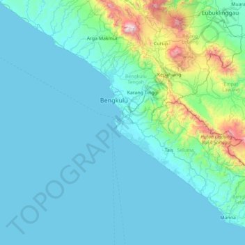
Name: Kampung Melayu topographic map, elevation, terrain.
Location: Kampung Melayu, Bengkulu, Indonesia (-4.56165 101.67289 -3.28165 102.95289)
Average elevation: 206 m
Minimum elevation: -2 m
Maximum elevation: 2,436 m
Other topographic maps
Click on a map to view its topography, its elevation and its terrain.