
Lake City topographic map
Interactive map
Click on the map to display elevation.
About this map
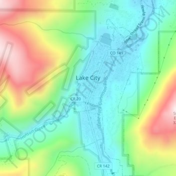
Name: Lake City topographic map, elevation, terrain.
Location: Lake City, Hinsdale County, Colorado, United States (38.01338 -107.32000 38.04394 -107.30126)
Average elevation: 2,834 m
Minimum elevation: 2,630 m
Maximum elevation: 3,234 m
Lake City experiences a continental climate (Köppen climate classification Dfb) that only just escapes being classified as semi-arid due to its relatively wet early springs and late autumns. On average, the wettest month is August, and the driest is February. Very large daily temperature swings are a regular feature of Lake City's climate, due to the elevation and aridity.