
Blackbutt topographic map
Interactive map
Click on the map to display elevation.
About this map
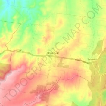
Name: Blackbutt topographic map, elevation, terrain.
Location: Blackbutt, South Burnett Regional, Queensland, Australia (-26.92300 152.06310 -26.84300 152.14310)
Average elevation: 444 m
Minimum elevation: 318 m
Maximum elevation: 551 m
Other topographic maps
Click on a map to view its topography, its elevation and its terrain.