
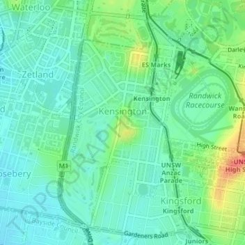
Kensington topographic map
Interactive map
Click on the map to display elevation.
About this map
Name: Kensington topographic map, elevation, terrain.
Location: Kensington, Sydney, Randwick City Council, 2033, Australia (-33.92459 151.21114 -33.90145 151.23653)
Average elevation: 31 m
Minimum elevation: 14 m
Maximum elevation: 71 m
Other topographic maps
Click on a map to view its topography, its elevation and its terrain.