
Arrondissement de Saint-Laurent-du-Maroni topographic map
Interactive map
Click on the map to display elevation.
About this map
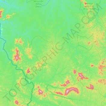
Name: Arrondissement de Saint-Laurent-du-Maroni topographic map, elevation, terrain.
Average elevation: 155 m
Minimum elevation: 35 m
Maximum elevation: 788 m
Other topographic maps
Click on a map to view its topography, its elevation and its terrain.
Kourou
France > French Guiana > Kourou
Kourou, Cayenne, French Guiana, 97310, France
Average elevation: 35 m