
Yuntai topographic map
Interactive map
Click on the map to display elevation.
About this map
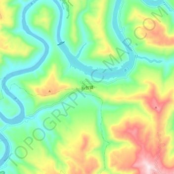
Name: Yuntai topographic map, elevation, terrain.
Location: Yuntai, Pingchang County, Bazhong City, Sichuan, PRC (31.56060 107.15485 31.64060 107.23485)
Average elevation: 491 m
Minimum elevation: 279 m
Maximum elevation: 906 m