
Egelsbach topographic map
Interactive map
Click on the map to display elevation.
About this map
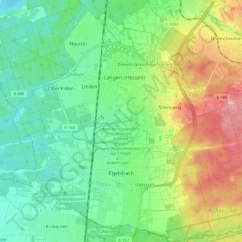
Name: Egelsbach topographic map, elevation, terrain.
Average elevation: 137 m
Minimum elevation: 99 m
Maximum elevation: 203 m
Egelsbach is one of 13 communities in the Offenbach district. The community lies in the Frankfurt Rhine Main Region south of the Main between Frankfurt am Main and Darmstadt at an elevation of 117 m above sea level.