
Mount Balbi topographic map
Interactive map
Click on the map to display elevation.
About this map
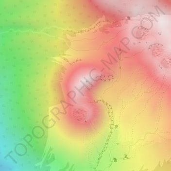
Name: Mount Balbi topographic map, elevation, terrain.
Average elevation: 2,393 m
Minimum elevation: 1,918 m
Maximum elevation: 2,697 m
Other topographic maps
Click on a map to view its topography, its elevation and its terrain.
Mount Loloru
Papua-Neuguinea > Bougainville
Mount Loloru, Buin District, Bougainville, Islands Region, Papua-Neuguinea
Average elevation: 1,562 m