
Yangtze River topographic map
Interactive map
Click on the map to display elevation.
About this map
Name: Yangtze River topographic map, elevation, terrain.
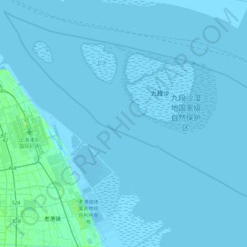
Location: Yangtze River, Pudong, Shanghai, PRC (31.03792 121.80712 31.26581 122.14466)
Average elevation: 1 m
Minimum elevation: -1 m
Maximum elevation: 16 m
Other topographic maps
Click on a map to view its topography, its elevation and its terrain.