
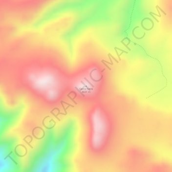
Cerro Torre topographic map
Interactive map
Click on the map to display elevation.
About this map
Name: Cerro Torre topographic map, elevation, terrain.
Average elevation: 4,569 m
Minimum elevation: 4,278 m
Maximum elevation: 4,737 m
Other topographic maps
Click on a map to view its topography, its elevation and its terrain.
Monterrico
Argentina > JJY > Monterrico
Monterrico, Municipio de Monterrico, Departamento El Carmen, JJY, 4608, Argentina
Average elevation: 972 m