
Mapleton Falls National Park topographic map
Interactive map
Click on the map to display elevation.
About this map
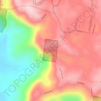
Name: Mapleton Falls National Park topographic map, elevation, terrain.
Average elevation: 330 m
Minimum elevation: 142 m
Maximum elevation: 440 m
Other topographic maps
Click on a map to view its topography, its elevation and its terrain.
Mapleton
Australia > Queensland > Mapleton
Mapleton, Sunshine Coast Regional, Queensland, Australia
Average elevation: 337 m