
Aïr Mountains topographic map
Interactive map
Click on the map to display elevation.
About this map
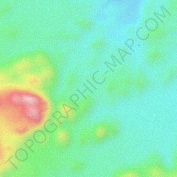
Name: Aïr Mountains topographic map, elevation, terrain.
Location: Aïr Mountains, Tchirozérine, Agadez, Niger (17.84995 8.74995 17.85005 8.75005)
Average elevation: 1,731 m
Minimum elevation: 1,645 m
Maximum elevation: 1,942 m
Other topographic maps
Click on a map to view its topography, its elevation and its terrain.