
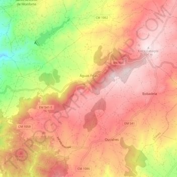
Águas Frias topographic map
Interactive map
Click on the map to display elevation.
About this map
Name: Águas Frias topographic map, elevation, terrain.
Location: Águas Frias, Chaves, Vila Real, Alto Tâmega, Norte, Portugal (41.72955 -7.40647 41.79779 -7.30602)
Average elevation: 720 m
Minimum elevation: 394 m
Maximum elevation: 932 m