
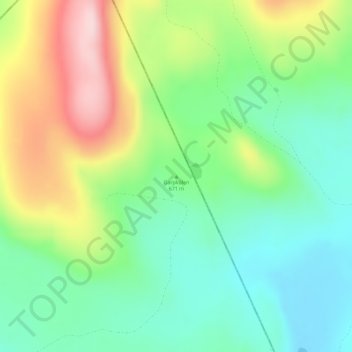
Garpkölen topographic map
Interactive map
Click on the map to display elevation.
About this map
Name: Garpkölen topographic map, elevation, terrain.
Average elevation: 487 m
Minimum elevation: 389 m
Maximum elevation: 662 m
Other topographic maps
Click on a map to view its topography, its elevation and its terrain.
Gysinge
Sweden > Gävleborg County > Gysinge
Gysinge, Sandviken, Gävleborg County, Region Norrland, 810 21, Sweden
Average elevation: 57 m