
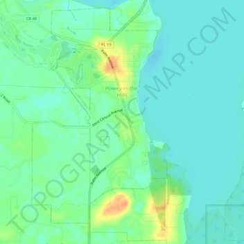
Howey-in-the-Hills topographic map
Interactive map
Click on the map to display elevation.
About this map
Name: Howey-in-the-Hills topographic map, elevation, terrain.
Location: Howey-in-the-Hills, Lake County, Florida, United States (28.68827 -81.79284 28.73409 -81.76320)
Average elevation: 25 m
Minimum elevation: 14 m
Maximum elevation: 52 m
Other topographic maps
Click on a map to view its topography, its elevation and its terrain.