
Bansari topographic map
Interactive map
Click on the map to display elevation.
About this map
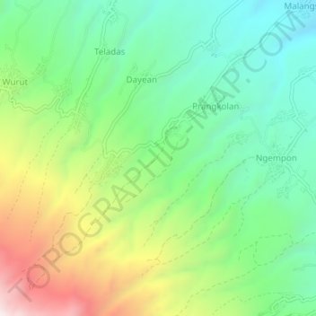
Name: Bansari topographic map, elevation, terrain.
Location: Bansari, Temanggung, Central Java, Indonesia (-7.35756 110.08571 -7.31756 110.12571)
Average elevation: 1,214 m
Minimum elevation: 850 m
Maximum elevation: 1,889 m