
San Sosti topographic map
Interactive map
Click on the map to display elevation.
About this map
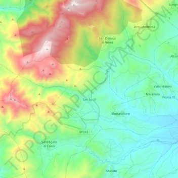
Name: San Sosti topographic map, elevation, terrain.
Location: San Sosti, Cosenza, Calabria, Italia (39.64145 15.94966 39.69795 16.14752)
Average elevation: 712 m
Minimum elevation: 151 m
Maximum elevation: 1,965 m