
Upper Greenwood Lake topographic map
Interactive map
Click on the map to display elevation.
About this map
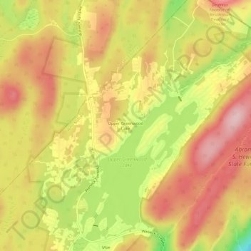
Name: Upper Greenwood Lake topographic map, elevation, terrain.
Average elevation: 360 m
Minimum elevation: 241 m
Maximum elevation: 438 m
Other topographic maps
Click on a map to view its topography, its elevation and its terrain.
Upper Macopin
United States > New Jersey > Passaic County > West Milford
Upper Macopin, West Milford, Passaic County, New Jersey, 07480, United States
Average elevation: 298 m
Hewitt
United States > New Jersey > Passaic County > West Milford
Hewitt, West Milford, Passaic County, New Jersey, 10979, United States
Average elevation: 185 m