
Lirios topographic map
Interactive map
Click on the map to display elevation.
About this map
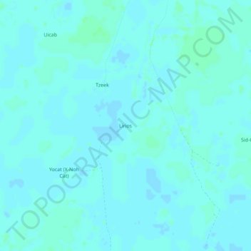
Name: Lirios topographic map, elevation, terrain.
Location: Lirios, Chemax, Юкатан, 97770, México (20.68209 -87.96227 20.72209 -87.92227)
Average elevation: 20 m
Minimum elevation: 18 m
Maximum elevation: 24 m