
Mexiquillo topographic map
Interactive map
Click on the map to display elevation.
About this map
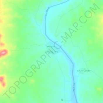
Name: Mexiquillo topographic map, elevation, terrain.
Location: Mexiquillo, Álamos, Sonora, México (27.32809 -108.94574 27.36809 -108.90574)
Average elevation: 182 m
Minimum elevation: 137 m
Maximum elevation: 302 m
Other topographic maps
Click on a map to view its topography, its elevation and its terrain.