
Karangsambung topographic map
Interactive map
Click on the map to display elevation.
About this map
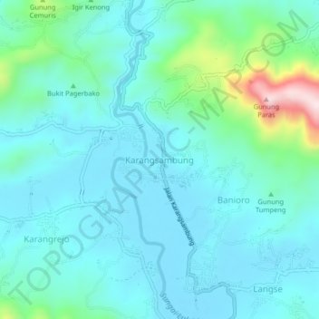
Name: Karangsambung topographic map, elevation, terrain.
Location: Karangsambung, Kebumen, Central Java, Indonesia (-7.56680 109.65173 -7.52680 109.69173)
Average elevation: 111 m
Minimum elevation: 36 m
Maximum elevation: 474 m