
Mahahual topographic map
Interactive map
Click on the map to display elevation.
About this map
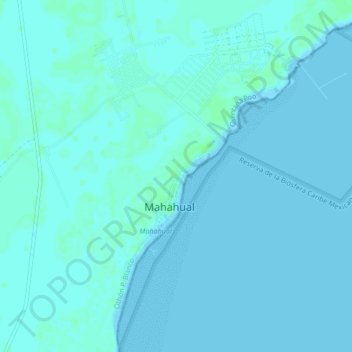
Name: Mahahual topographic map, elevation, terrain.
Location: Mahahual, Othón P. Blanco, Quintana Roo, 77976, México (18.70011 -87.72707 18.74011 -87.68707)
Average elevation: 2 m
Minimum elevation: -1 m
Maximum elevation: 7 m