
Kintyre topographic map
Interactive map
Click on the map to display elevation.
About this map
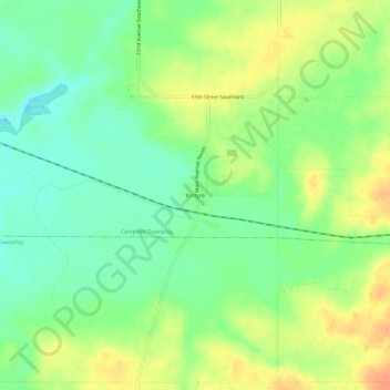
Name: Kintyre topographic map, elevation, terrain.
Location: Kintyre, Emmons County, North Dakota, United States (46.52971 -99.96955 46.56971 -99.92955)
Average elevation: 584 m
Minimum elevation: 566 m
Maximum elevation: 605 m
Other topographic maps
Click on a map to view its topography, its elevation and its terrain.
Hague
United States > North Dakota > Emmons County > Hague
Hague, Emmons County, North Dakota, 58542, United States
Average elevation: 577 m
Linton
United States > North Dakota > Emmons County
Linton, Emmons County, North Dakota, 58552, United States
Average elevation: 540 m