
Ozona topographic map
Interactive map
Click on the map to display elevation.
About this map
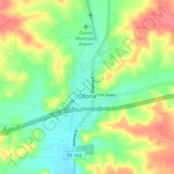
Name: Ozona topographic map, elevation, terrain.
Location: Ozona, Crockett County, Texas, United States of America (30.68989 -101.23682 30.73562 -101.17330)
Average elevation: 735 m
Minimum elevation: 706 m
Maximum elevation: 774 m