
Signal Island topographic map
Interactive map
Click on the map to display elevation.
About this map
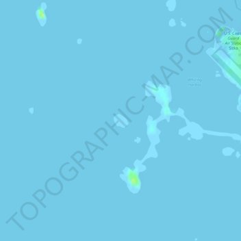
Name: Signal Island topographic map, elevation, terrain.
Location: Signal Island, Sitka, Alaska, United States of America (57.04520 -135.39343 57.04674 -135.39035)
Average elevation: 0 m
Minimum elevation: -7 m
Maximum elevation: 13 m