
Salemi topographic map
Interactive map
Click on the map to display elevation.
About this map
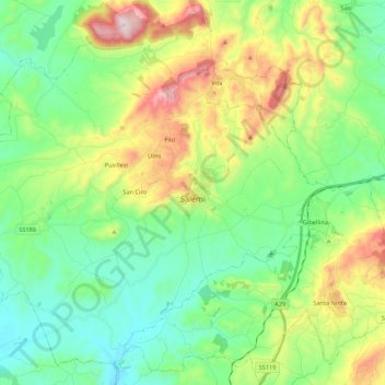
Name: Salemi topographic map, elevation, terrain.
Location: Salemi, Trapani, Sicily, 91018, Italy (37.74333 12.66590 37.90076 12.88136)
Average elevation: 288 m
Minimum elevation: 80 m
Maximum elevation: 748 m
Other topographic maps
Click on a map to view its topography, its elevation and its terrain.