
Gemert-Bakel topographic map
Interactive map
Click on the map to display elevation.
About this map
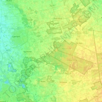
Name: Gemert-Bakel topographic map, elevation, terrain.
Location: Gemert-Bakel, Brabant-Septentrional, Pays-Bas (51.48408 5.65136 51.59821 5.85257)
Average elevation: 23 m
Minimum elevation: 11 m
Maximum elevation: 32 m