
Guadalupe Ocotán topographic map
Interactive map
Click on the map to display elevation.
About this map
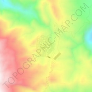
Name: Guadalupe Ocotán topographic map, elevation, terrain.
Location: Guadalupe Ocotán, La Yesca, Nayarit, 63582, México (21.86982 -104.37510 21.90982 -104.33510)
Average elevation: 1,101 m
Minimum elevation: 644 m
Maximum elevation: 1,518 m