
Ковернино topographic map
Interactive map
Click on the map to display elevation.
About this map
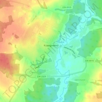
Name: Ковернино topographic map, elevation, terrain.
Average elevation: 124 m
Minimum elevation: 100 m
Maximum elevation: 155 m
Other topographic maps
Click on a map to view its topography, its elevation and its terrain.
Ковернино
Россия > Нижегородская область > Ковернино
Ковернино, Ковернинский муниципальный округ, Нижегородская область, Приволжский федеральный округ, 606570, Россия
Average elevation: 130 m